The Tourism Times | Breaking tourism-related news from Nepal and beyond
°C
Climbing
Adverse weather creates uncertainty on Mt Manaslu; many give up, some rush for summit push
By
Tourism Times
Published at : 21 Sep 2026, 4:33 PM
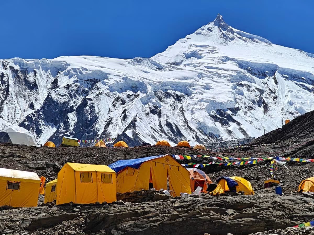
KATHMANDU: Fragile weather conditions on Mt Manaslu have dragged autumn expeditions into uncertainty, while a few expeditions plan a summit rush on the world's eighth-highest peak.
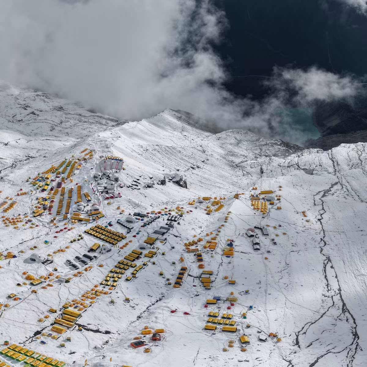
Some climbers have already given up, while others are evaluating weather conditions there, said expedition officials, adding that a few have already moved to the high camps to prepare for a summit bid in the next two to three days.
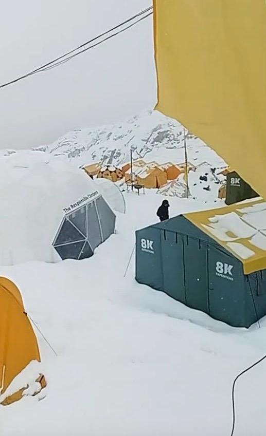
Heavy snowfall in the region has affected climbing activities over the last two days, while the weather forecast for September 24 onward looks somewhat challenging for continuing or holding expeditions on Mt Manaslu, they informed.
"We are carefully assessing the mountain environment here," said Chhang Dawa Sherpa, Expedition Director at Seven Summit Treks. Lakpa Sherpa, Expedition Leader of 8K Expeditions, echoed Chhang Dawa, saying that some members have already moved to the high camps and are waiting for a summit window.
"Our teams will thoroughly check the route and mountain conditions tomorrow and take a final call," they said, adding that climbers' safety will be the topmost priority and that they would decide accordingly. If everything goes well, there will be a summit rush on September 23-24, according to them.
Mingma G, expedition leader of Imagine Nepal Treks, said they would assess the ground reality to determine whether it would be possible to start a summit bid on September 23 and 24.
The 7 Summits Club's Manaslu-26 team, however, has decided to set off for the summit today. The team plans to summit the mountain on September 23.
"Snow continued to fall overnight at Manaslu Base Camp, even though the forecast hadn't predicted it. The morning was gloomy and bleak. All the expeditions are facing a dilemma. The forecast shows the weather deteriorating for a full week starting September 24, with a major cyclone moving in from the Bay of Bengal. It's a choice between going now or waiting until the end of September," Alex Abramov, owner of 7 Summits Club, posted.
"All in all, 17 Sherpas and 17 expedition members from the 7 Summits Club Manaslu team are beginning their summit push. First to Camp 1, then to Camp 2 tomorrow. From there, we'll move—using oxygen—to Camp 4, with the summit attempt scheduled for September 23,” Alex shared.
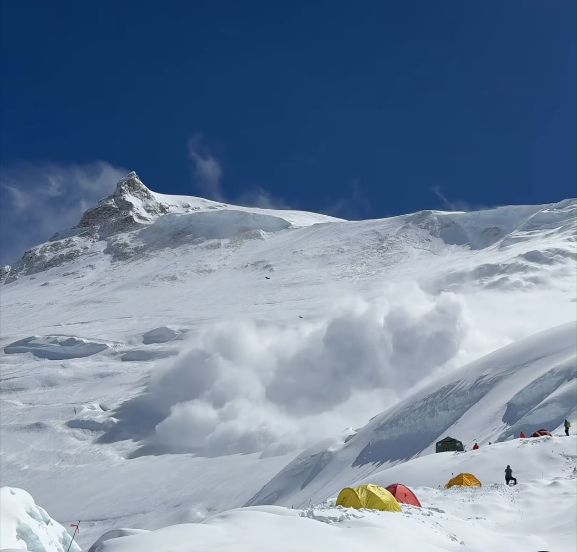
"Our alternative plan would involve sitting in Base Camp for a week waiting for the weather, then waiting another three days for the avalanche risk to subside. That would push us to October 1, and who knows what the situation will be then?"
According to the weather update issued by the Nepal National Mountain Guide Association in association with Senior Meteorologist Krishna Bhakta Manandhar, the weather system currently developing over the Bay of Bengal is gradually organizing. While it has not yet reached cyclone status, it is classified as a very well-marked low-pressure field as of September 21. Atmospheric conditions indicate that this system will strengthen further, developing into a deep depression or a full cyclone by the evening or night of September 22.
As it progresses, the system is expected to track closer to the coastal regions of Odisha and North Andhra Pradesh on the eastern coast of India by the morning of September 23. Meteorologists project that it could intensify further into a severe cyclone or maintain its cyclone status through the evening and night of September 23, before finally beginning to move inland by the morning of September 24. Once it moves deeper inland over east-central India by September 24 evening and night, the system is expected to lose intensity and weaken back into a well-marked low-pressure area or depression.
Concurrently, over Nepal, increasing thin broken clouds at higher altitudes above approximately 6,500 meters will begin to appear from East Nepal, eventually reaching as far as the Manaslu, Annapurna, and Dhaulagiri ranges.
From September 25 to 27, even though the system will have weakened and will no longer be a cyclone, thick moisture-laden clouds will stream toward Nepal from the south. This movement is driven by persistent southerly winds and reinforced by a high-level low-pressure system lingering over the mountains and high Himalayas. Consequently, heavy weather conditions are expected across East Nepal, stretching across the Dhaulagiri range through Annapurna and Manaslu, and impacting much of the middle mountains, high Himalayas, and the Terai plains during this three-day window.


 °C
°C 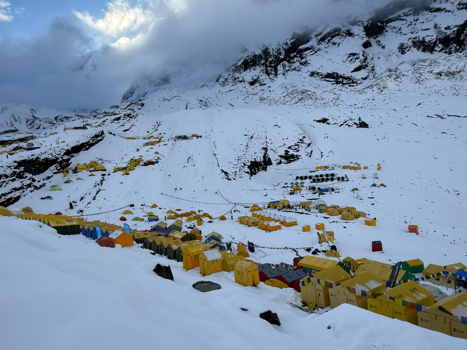




Comment